Today, AIDSVu released 2019 ZIP Code-level HIV data and interactive maps for 29 cities across the U.S., illustrating how the HIV epidemic impacts cities and neighborhoods at a fine geographic level. Due to the COVID-19 pandemic, some cities on AIDSVu were unable to send their updated HIV data. AIDSVu is currently working with local health departments across the country to publish the most recent data available.
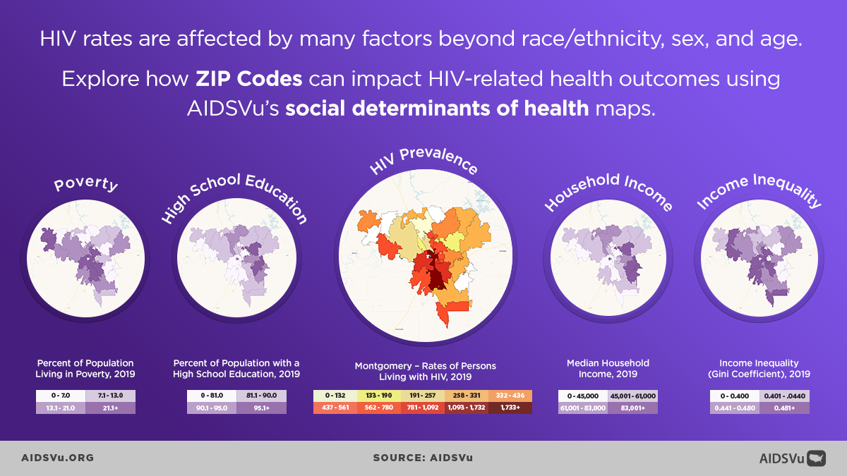
Using the latest publicly available data at the ZIP Code-level, these new maps visualize disparities in HIV prevalence, new HIV diagnoses, and along steps of the HIV care continuum such as linkage to care, receipt of care, and viral suppression, both geographically and across different demographic groups such as age, sex, and race/ethnicity. AIDSVu’s maps can be viewed alongside social determinants of health and overlaid with HIV testing, PrEP, and care service locations. View the maps here.
“AIDSVu is proud to again share the most comprehensive look at ZIP Code-level HIV data for more than 50 cities across the U.S. By visualizing a city or comparing cities, users can identify areas in need of targeted and effective public health programs and interventions as we work to end the HIV epidemic in our local communities.” said Patrick Sullivan, DVM, PhD, Professor of Epidemiology at Emory University’s Rollins School of Public Health and Principal Scientist for AIDSVu.
Major city-level data updates this year include:
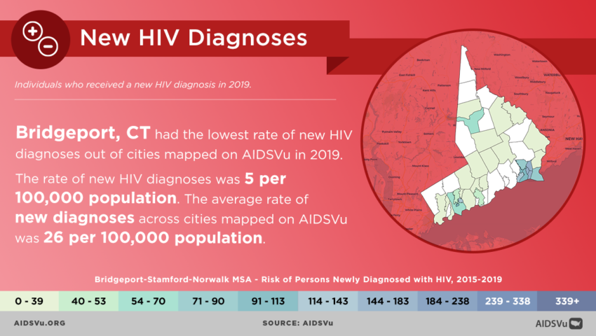
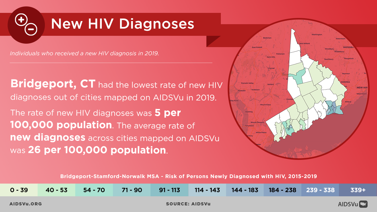
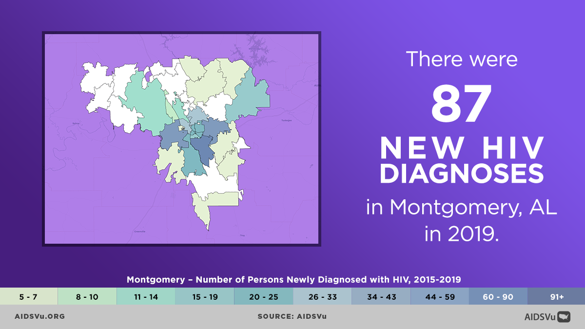
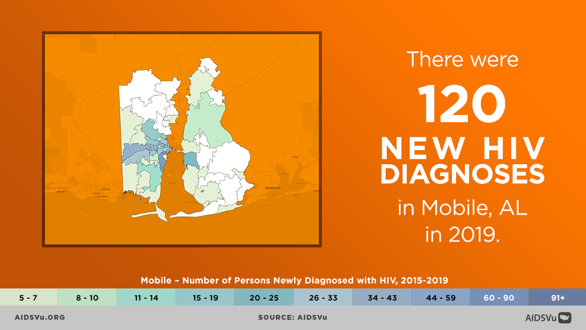
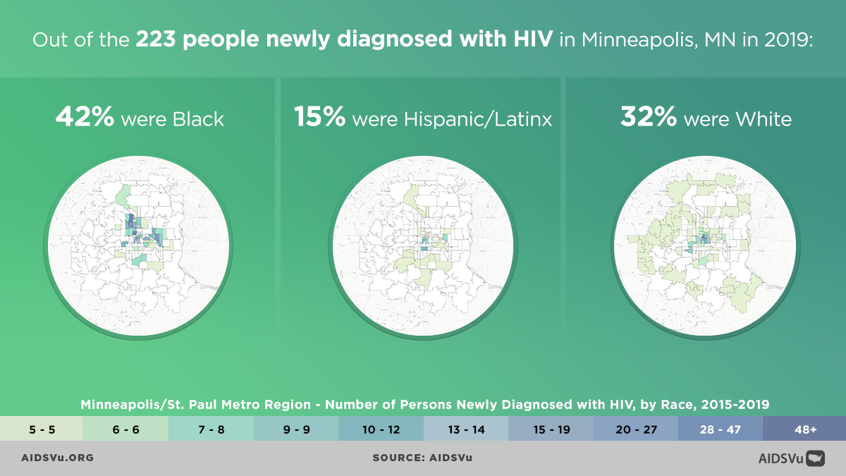
- ZIP Code-level maps showing HIV prevalence (2019) and new diagnoses (cumulative 2015 to 2019) for more than 29 U.S. cities.
- This includes 2 new cities, including Mobile, AL and Montgomery, AL; both are in jurisdictions prioritized for Phase 1 of Ending the HIV Epidemic: A Plan for America, a ten-year initiative to end the HIV epidemic in the U.S.
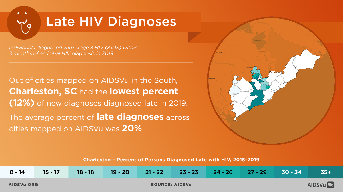
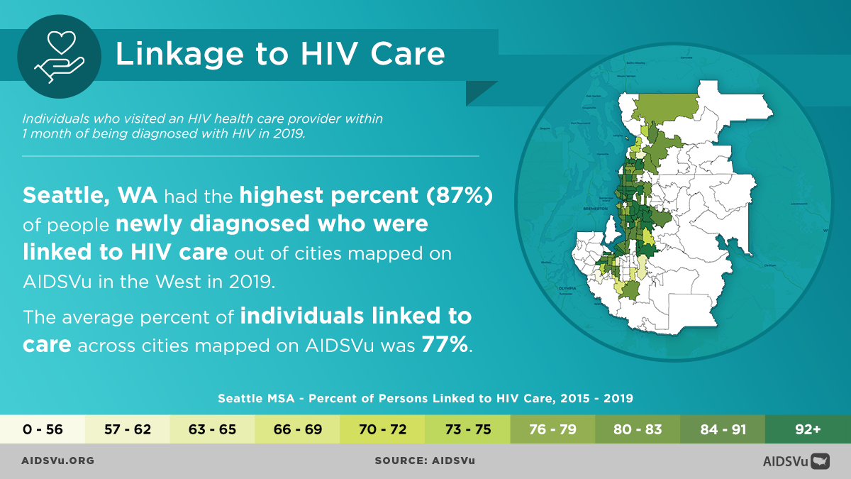
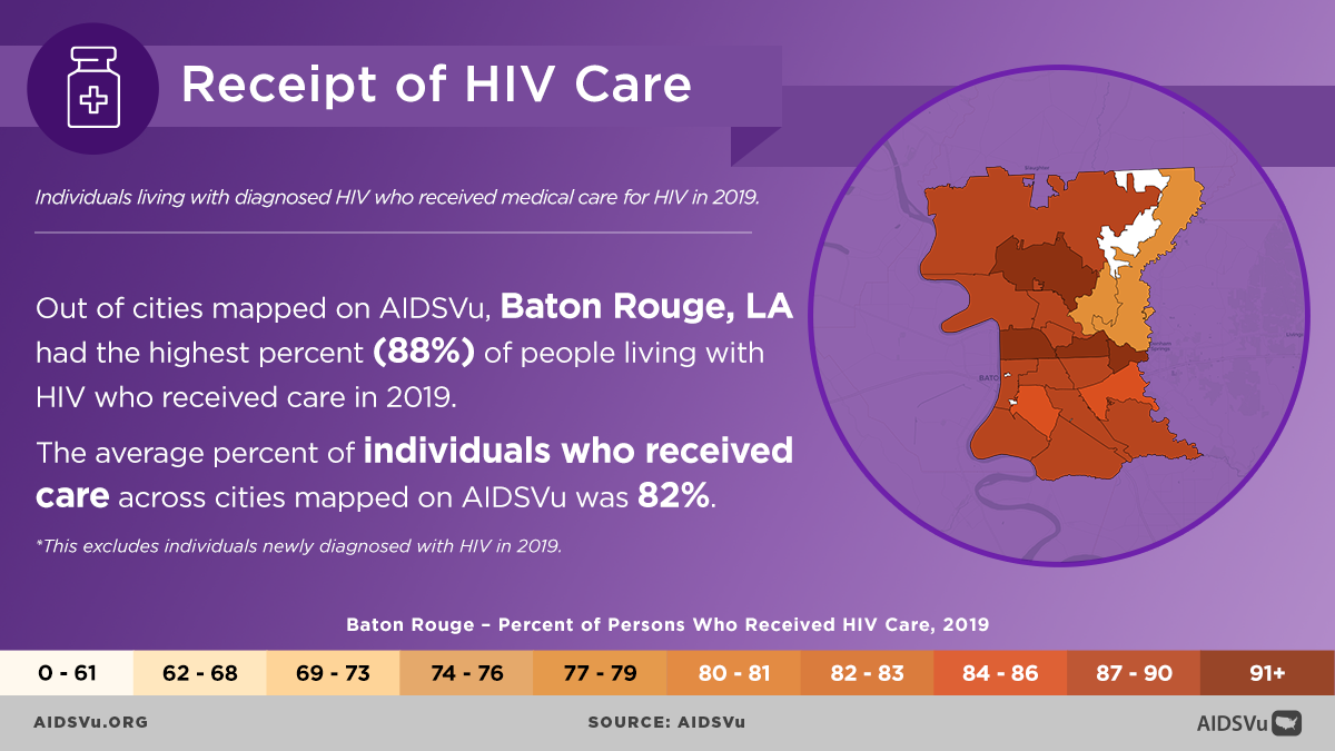
- ZIP Code-level maps showing HIV care continuum indicators such as late HIV diagnoses (cumulative 2015 to 2019), linkage to HIV care (cumulative 2015 to 2019), receipt of HIV care (2019), and viral HIV suppression (2019) for more than 35 U.S. cities.
- Enhanced city-data profile pages, including new diagnoses and HIV care continuum data, as well as the percent of people living with HIV by age (2019), for 44 U.S. cities that are easy to download and print.
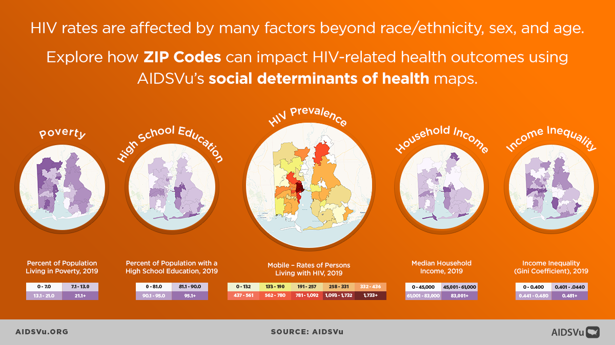
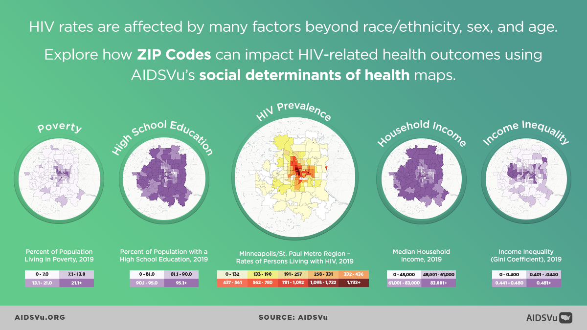
- ZIP Code-level HIV maps alongside maps of social determinants of health – such as poverty, unstable housing, high school education, median household income, and income inequality.
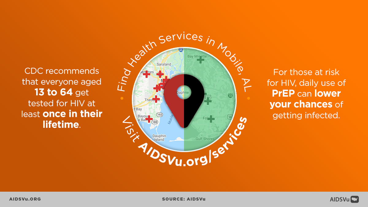
- Enhanced service locators available on interactive maps, including HIV prevention, testing, Ryan White care services, housing opportunities for people living with AIDS, NIH-funded HIV prevention, vaccine, and treatment trial locations.
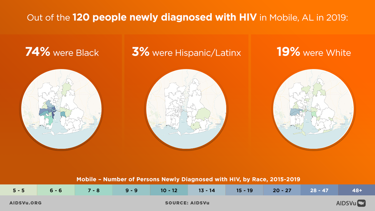
The South continues to experience the highest burden of HIV in the U.S., with Black Americans disproportionately impacted by the virus.
- Despite accounting for approximately 52% of the city population, Black Americans represented 74% of all new HIV diagnoses in Mobile, AL in 2019, compared to 19% of white Americans and 3% of Hispanic/Latinx individuals in the city.
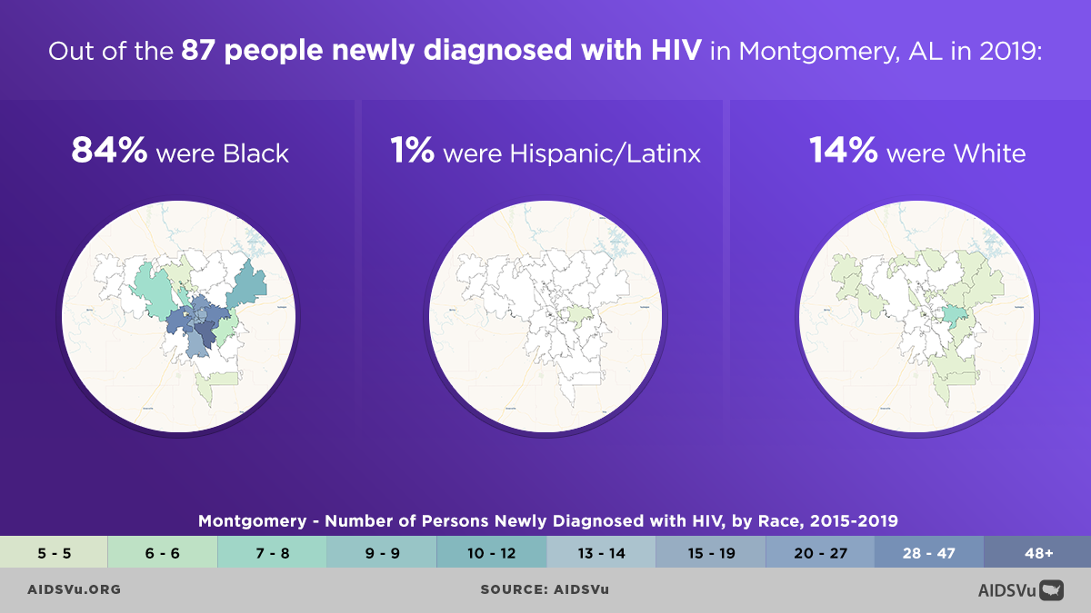
- In Montgomery, AL, Black Americans accounted for approximately 61% of the city population but 84% of all new HIV diagnoses in 2019, compared to 14% of white Americans and 1% of Hispanic/Latinx individuals in the city.
Use these data to:
- Understand HIV where you live. Explore AIDSVu’s interactive ZIP Code-level maps to visualize HIV data, overlay HIV service locations, view social determinants of health, and print or share maps for your materials.
- Tell your city’s story. View and utilize local data for your city or state for quick and printable fact sheets on HIV prevalence, new diagnoses, and more.
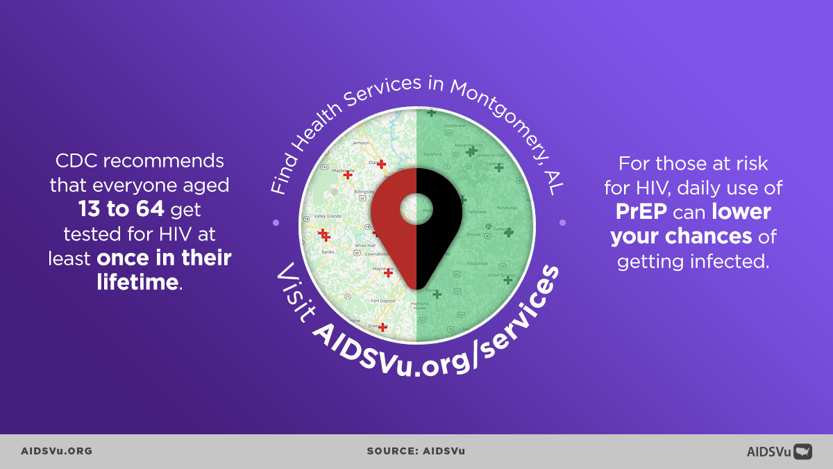
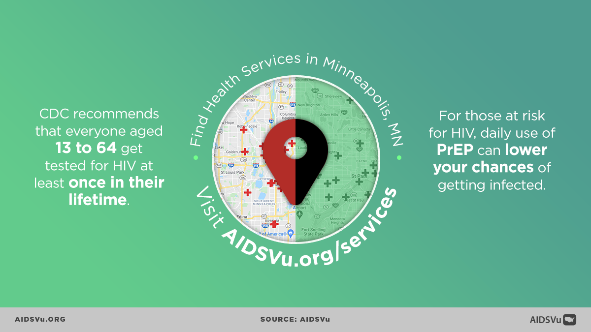
- Find where services are and are not. Search for HIV testing, PrEP, and other HIV services near you with AIDSVu’s service locator.
- Conduct your own analysis. Download the city-level datasets that inform AIDSVu’s visualizations for your own research and analysis.
About AIDSVu’s Annual City Data Update
AIDSVu is presented by Emory University’s Rollins School of Public Health in partnership with Gilead Sciences, Inc. and the Center for AIDS Research at Emory University (CFAR). Now in its eleventh year, AIDSVu continues to advance its mission to make HIV data widely available, easily accessible, and locally relevant to inform public health decision-making. The site aims to provide researchers, policymakers, and community members with a more comprehensive understanding of the HIV epidemic at the local-, state-, and national-level.
ZIP Code, census tract, and community arehttps://aidsvu.org/faqs/a/ward data were provided by state and city health departments and compiled by researchers at the Rollins School of Public Health. Learn more about AIDSVu’s HIV care continuum data and sources, see our FAQ and Data Methods.

